
Deliver Precision Surveying with Regulatory Compliance
Deliver Precision Surveying with Regulatory Compliance

Resolve Property Challenges with Certified Land Surveys
Licensed surveyors serving the Quad Cities with AutoCAD deliverables
Abbitt Survey & Development, PLLC brings licensed land surveying expertise to the Quad Cities and surrounding region, with deep experience in Mississippi River corridor floodplain properties and 100-year flood zone documentation. Whether you're managing a boundary dispute, planning new home construction, navigating commercial property transactions, or qualifying for flood insurance, you need precise boundary recovery and regulatory-compliant data. The firm serves property owners, developers, architects, engineers, and real estate professionals across Illinois and Iowa with surveys designed to meet specific project and compliance requirements.
When you're facing a fencing improvement, site development, or title clearance, understanding your property's exact boundaries and elevation becomes essential. The right survey connects your immediate need—whether it's resolving an encroachment question or satisfying a lender's title insurance requirement—to the regulatory framework that governs land use in this region. You receive documentation that moves your project forward while meeting the standards expected by municipalities, insurers, and financial institutions.
Abbitt Survey approaches every assignment with the technical rigor that defines professional land surveying. You work directly with licensed surveyors who apply GPS-based methods and deliver certified documentation tailored to your property's unique conditions and your project's specific objectives.
Documentation and Delivery Standards
Every survey begins with precise boundary recovery using GPS technology,
followed by thorough field measurement and data processing that produces AutoCAD deliverables suited to your project type. Licensed land surveyors coordinate site visits, data collection, and documentation preparation to ensure you receive certified results that satisfy regulatory requirements. FEMA compliance drives elevation certificate work, while subdivision and condominium surveys follow platting standards established by local jurisdictions.
Construction layout staking translates design plans into field markers, giving contractors the reference points needed to build accurately. As-built documentation captures what was constructed, and design support surveys provide the base data architects and engineers require before drafting begins. You know what to expect at each stage, and the final deliverable reflects the precision this work demands.
- The firm's survey capabilities address the most common property and development needs throughout the region:
- Certified boundary identification that resolves encroachment questions and supports property line agreements
- Topographic mapping that captures existing site conditions for grading, drainage, and infrastructure design
- FEMA elevation certificates and LOMA applications that determine flood zone classification and insurance requirements
- Legal descriptions and easement surveys prepared for title companies, attorneys, and municipal approval
Reach out to discuss your boundary or flood zone question and receive a free consultation on the survey type that fits your project.
Homeowners
Real Estate Developers
Civil Engineers and Architects
General, Highway, and Building Contractors
Commercial and Residential Lenders
Insurance Companies
Real Estate Attorneys
Family Trust Officers
Title Companies
Municipalities & Levee / Drainage Districts
State, County, and Federal Agencies
Our Services
Boundary Surveys
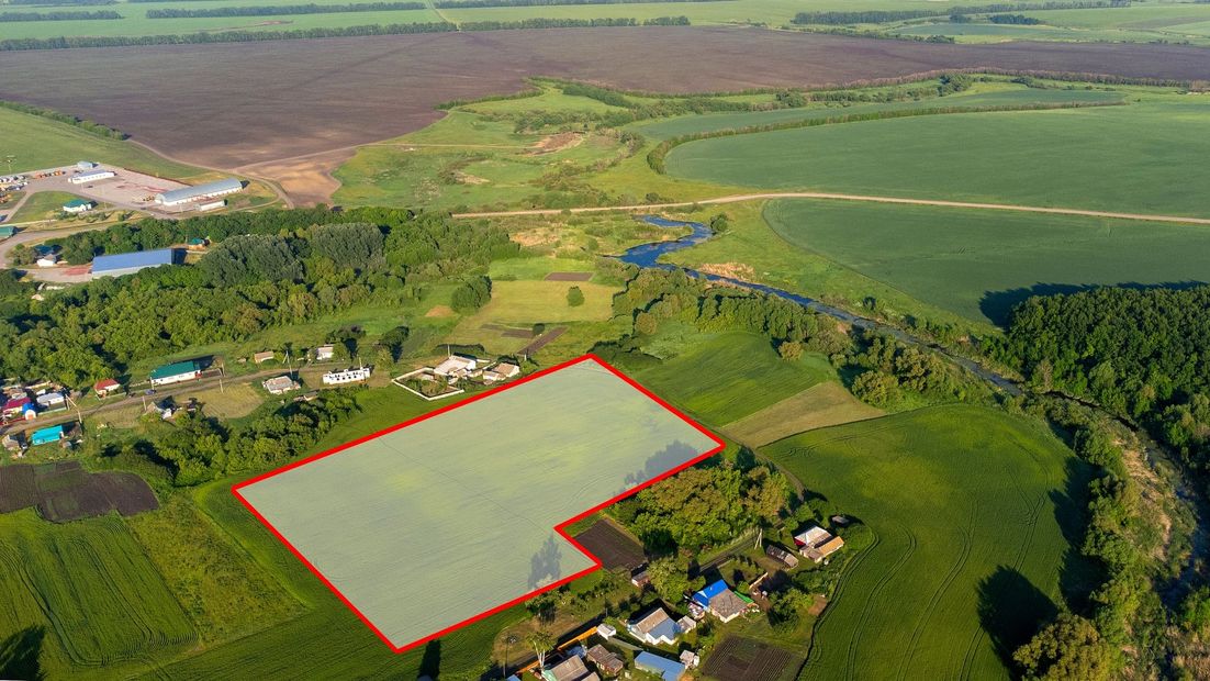
GPS-based boundary recovery establishes exact property lines for fencing, landscaping, and boundary dispute resolution.

Topographic Surveys
Detailed elevation and feature mapping supports architects, engineers, and developers throughout project design and planning phases.

Title Surveys
Comprehensive ALTA surveys deliver the documentation real estate professionals need for commercial property transactions.

HUD Surveys
Certified documentation meets federal requirements for housing development and lending compliance.
Areas We Serve

East Moline, IL
Moline, IL
Geneseo, IL
Morrison, IL
Sterling, IL
Rock Island, IL
Davenport, IA
Bettendorf, IA
DeWitt, IA
Clinton, IA
Eldridge, IA
East Moline, IL
Moline, IL
Regional Expertise and Licensed Practice
Abbitt Survey & Development, PLLC operates as a licensed land surveying firm with specialized knowledge of floodplain properties along the Mississippi River corridor, where elevation data and boundary accuracy directly affect construction permits, flood insurance eligibility, and real estate closings. The firm's surveyors work across East Moline, Moline, Rock Island, Geneseo, Morrison, Sterling, Davenport, Bettendorf, DeWitt, Clinton, and Eldridge, bringing familiarity with local topography and regulatory expectations to every assignment. Each project receives the attention of professionals who understand both the technical requirements of land surveying and the practical outcomes clients depend on.
Farm and estate surveys, condominium plats, and subdivision layouts require not only measurement accuracy but also adherence to recording standards and zoning regulations that vary by jurisdiction. Licensed surveyors ensure that documentation is prepared correctly the first time, reducing delays and supporting smooth approvals. You benefit from a firm that prioritizes technical integrity and delivers results you can rely on throughout the life of your property or development.
Contact Abbitt Survey to schedule a consultation and start your project with certified documentation prepared by experienced, licensed professionals.
Don't Take Our Word For it
See what our past customers have to say

East Moline, IL
Morrison, IL